


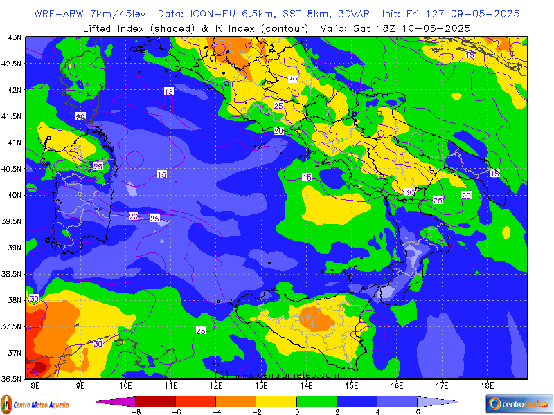
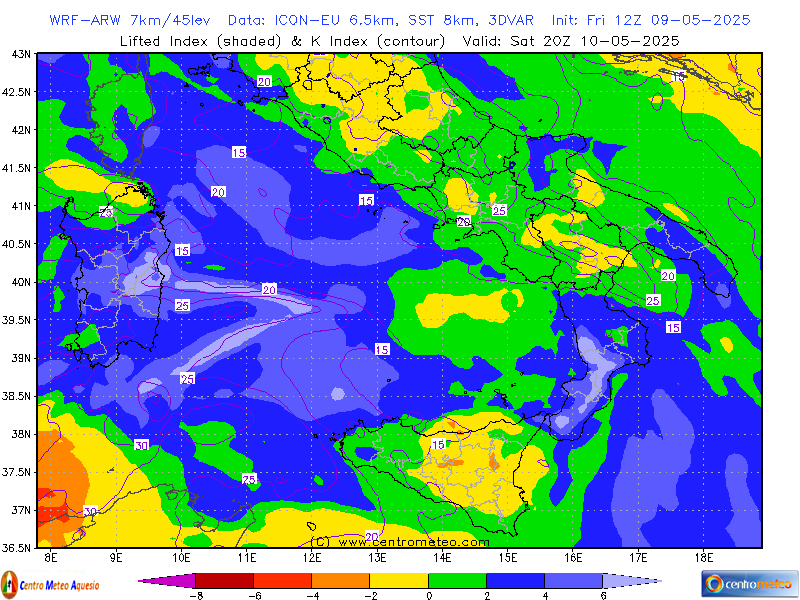
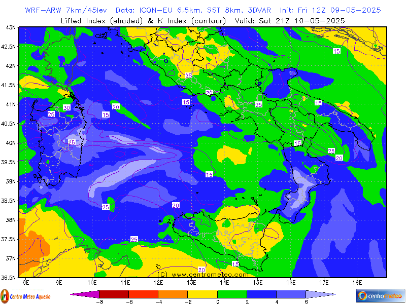
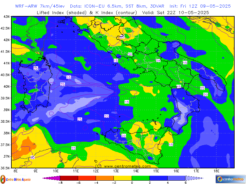
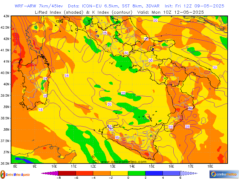
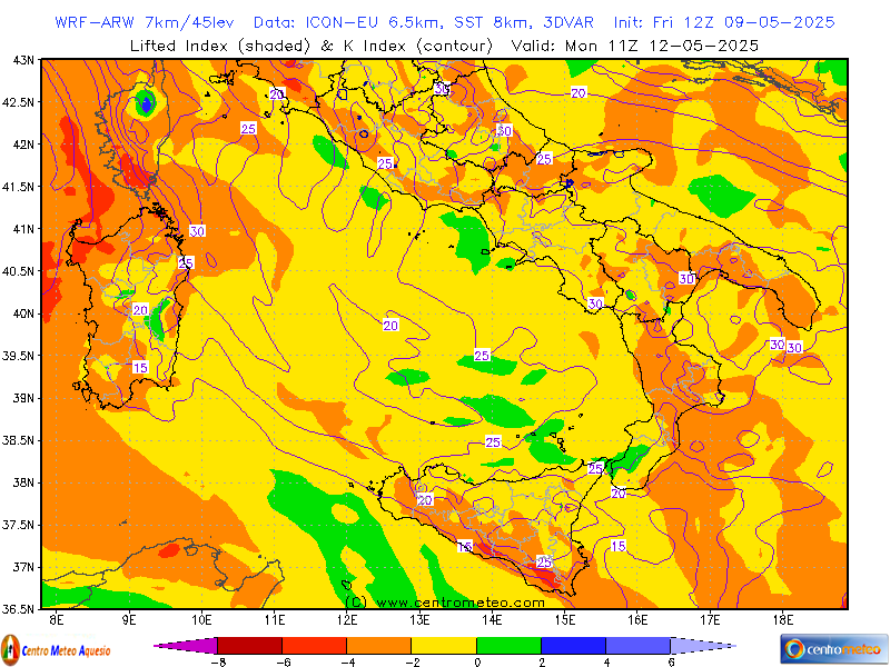
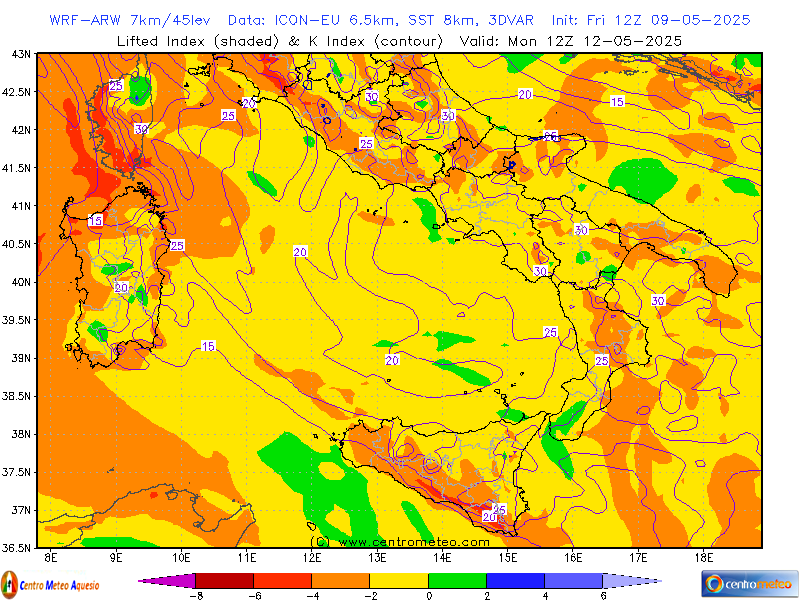
WRF Li-K (centro-sud) - ARW by ICON

- SELEZIONARE MODELLO E PARAMETRI
ITALIA WRF-NMM - Base dati: GFS
- MSLP, Cloud Cover, 3h Rain
- MSLP, Cloud Cover, 6h Rain
- MSLP, Cloud Cover, 12h Rain
- MSLP, Cloud Cover, 24h Rain
- 0°C Level, 3h Snow
- 0°C Level, 6h Snow
- 0°C Level, 12h Snow
- 0°C Level, 24h Snow
- Precipitation Type, 850hPa Temp
- Clouds Type, Adiabatic LCL
- 500hPa, MSLP, Temp
- 500hPa, Vort, Thick
- 850hPa Temp, Wind
- 850hPa, RH
- 850hPa 24h Diff Temperature
- 850hPa 48h Diff Temperature
- 925hPa Temp & 1000hPa RH
- 700hPa, RH, Wind
- 10m Wind
- 10m Wind Gust & Convergence
- 2m RH, 10m Wind
- 2m Temperature
- 2m 24h Diff Temperature
- 2m Dew Point, Fog Index
- Thom Discomfort Index
- Cape, CIN
- Total Totals, Sweat Index
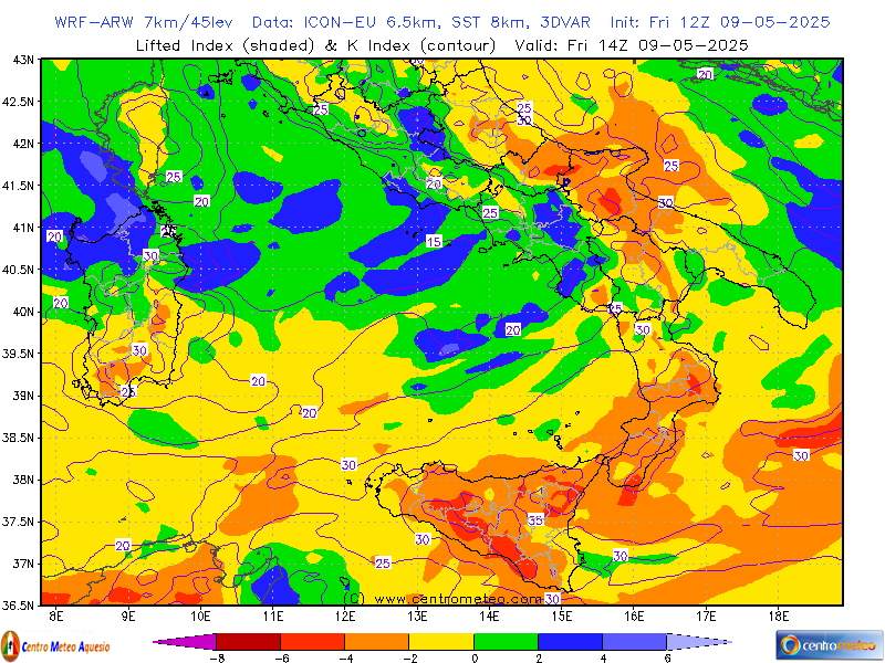
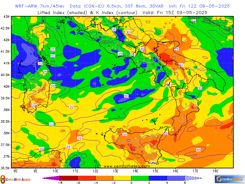
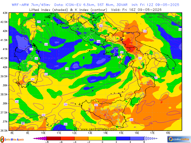
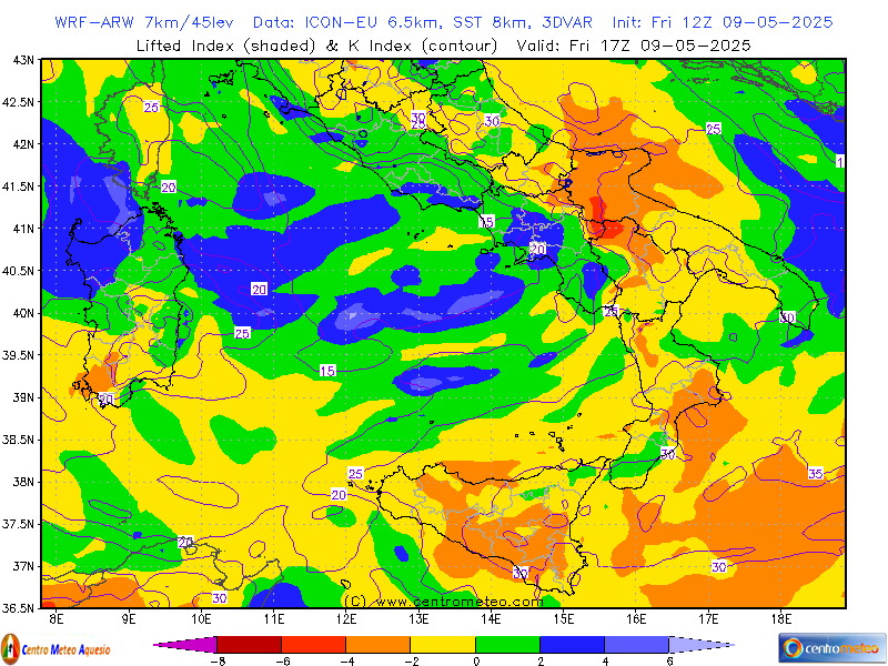
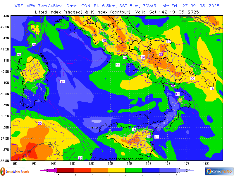
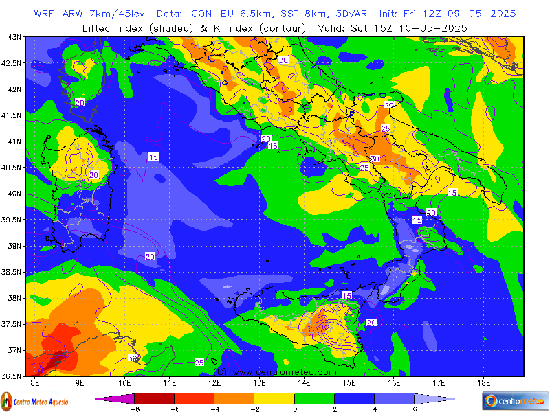
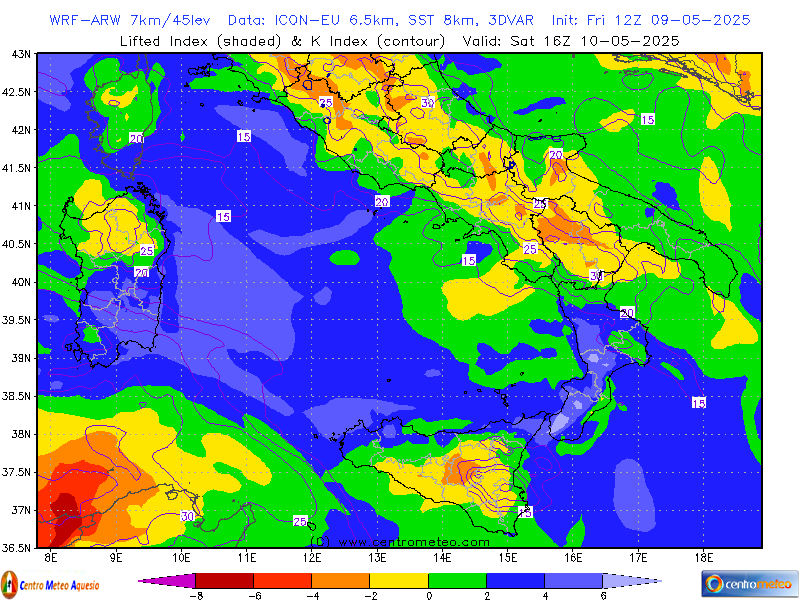
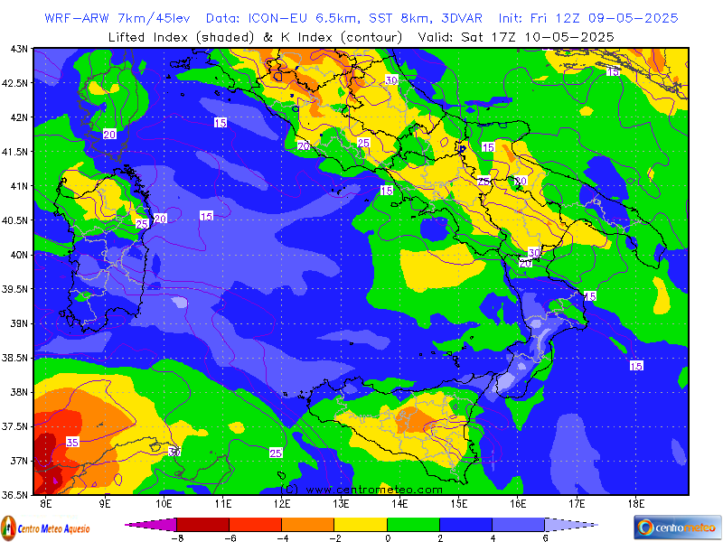
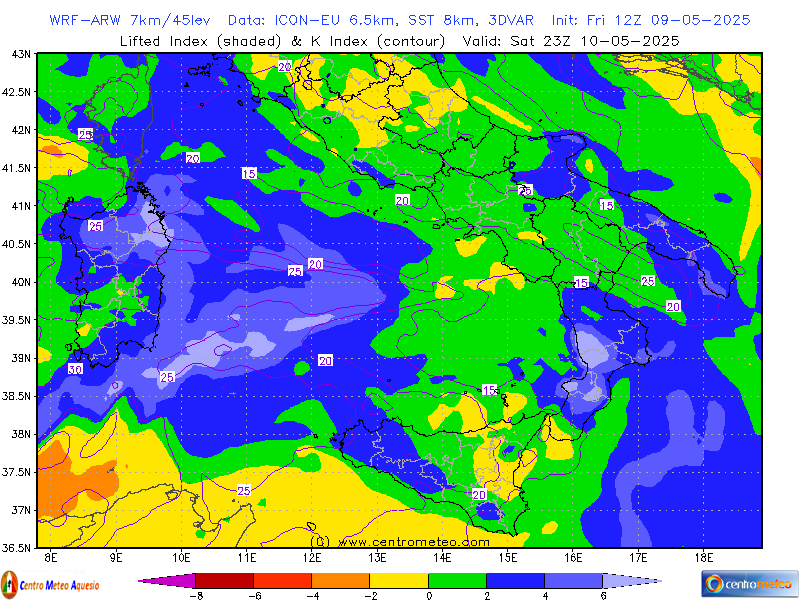
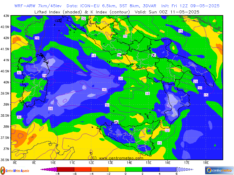
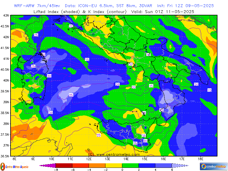
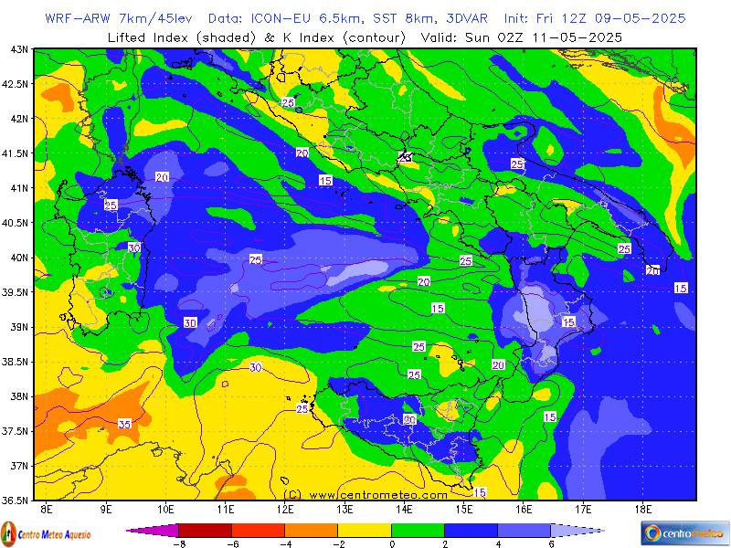
- Lifted Index, K Index
- Theta-E (850hPa)
- Delta Theta-E
- MTS, Hail Index
- Fire Index
Centro-Nord
- MSLP, Cloud Cover, 3h Rain
- MSLP, Cloud Cover, 6h Rain
- MSLP, Cloud Cover, 12h Rain
- MSLP, Cloud Cover, 24h Rain
- 0°C Level, 3h Snow
- 0°C Level, 6h Snow
- 0°C Level, 12h Snow
- 0°C Level, 24h Snow
- 500hPa, MSLP, Temp
- 850hPa Temp, Wind
- 850hPa, RH
- 850hPa 24h Diff Temperature
- 925hPa Temp & 1000hPa RH
- 700hPa, RH, Wind
- 10m Wind
- 10m Wind Gust & Convergence
- 2m RH, 10m Wind
- 2m Temperature
- 2m 24h Diff Temperature
- 2m Dew Point, Fog Index
- Cape, CIN
- Total Totals, Sweat Index
- Lifted Index, K Index
- MTS, Hail Index
Centro-Sud
- MSLP, Cloud Cover, 3h Rain
- MSLP, Cloud Cover, 6h Rain
- MSLP, Cloud Cover, 12h Rain
- MSLP, Cloud Cover, 24h Rain
- 0°C Level, 3h Snow
- 0°C Level, 6h Snow
- 0°C Level, 12h Snow
- 0°C Level, 24h Snow
- 500hPa, MSLP, Temp
- 850hPa Temp, Wind
- 850hPa, RH
- 850hPa 24h Diff Temperature
- 925hPa Temp & 1000hPa RH
- 700hPa, RH, Wind
- 10m Wind
- 10m Wind Gust & Convergence
- 2m RH, 10m Wind
- 2m Temperature
- 2m 24h Diff Temperature
- 2m Dew Point, Fog Index
- Cape, CIN
- Total Totals, Sweat Index
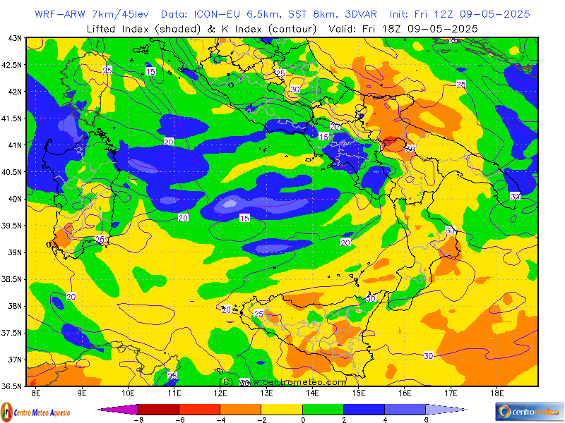
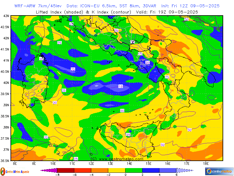
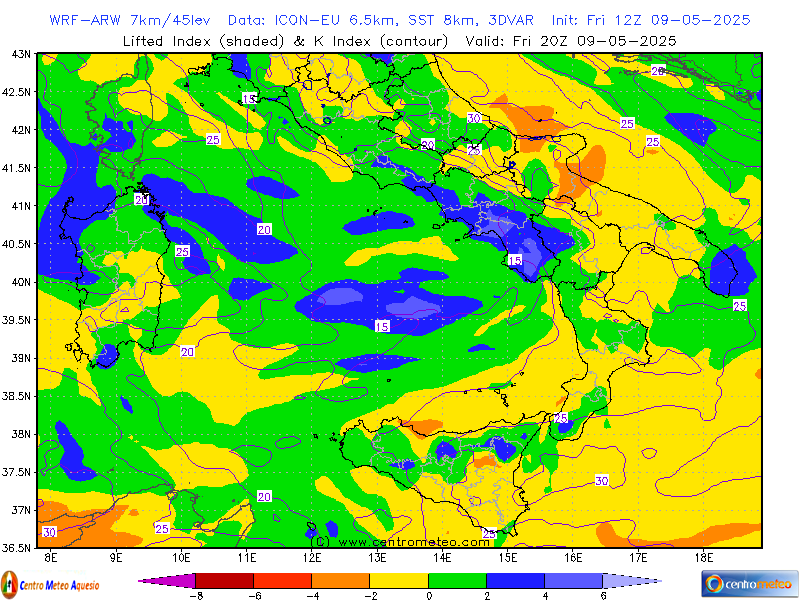
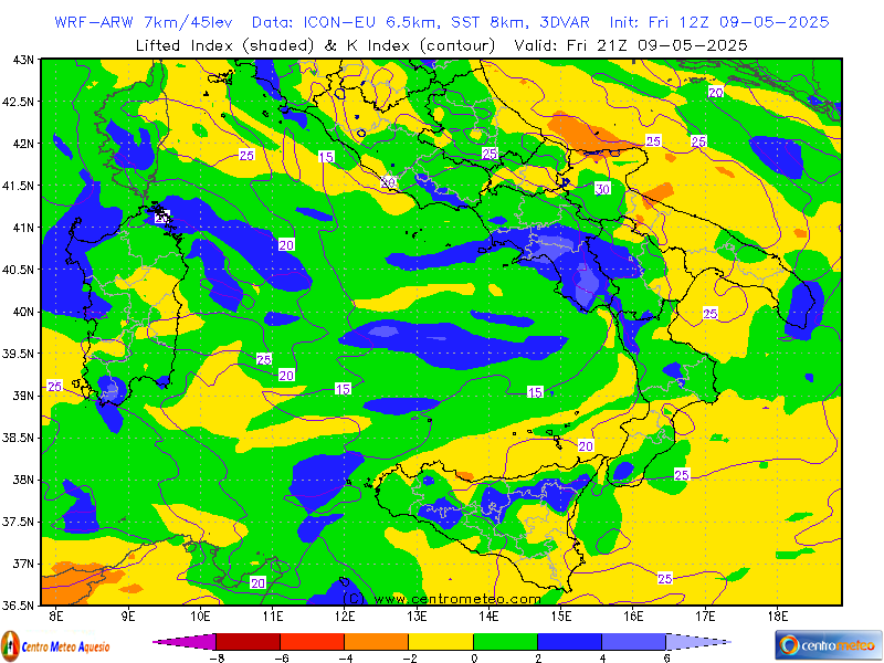
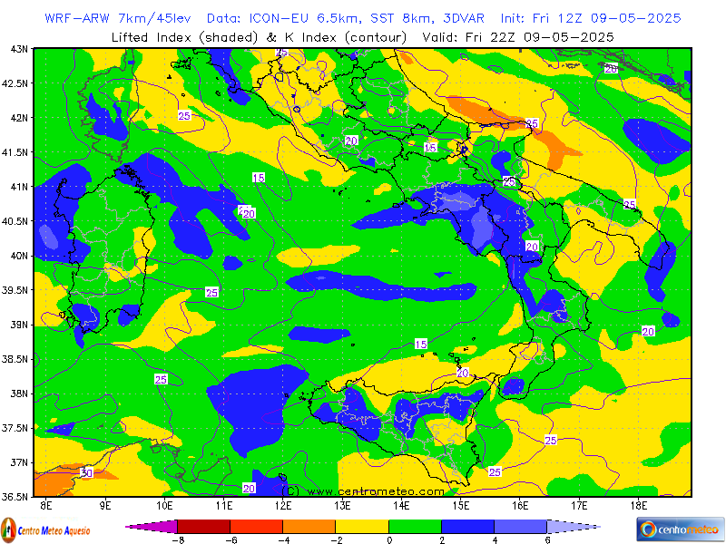
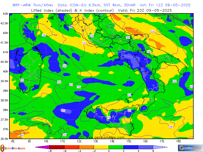
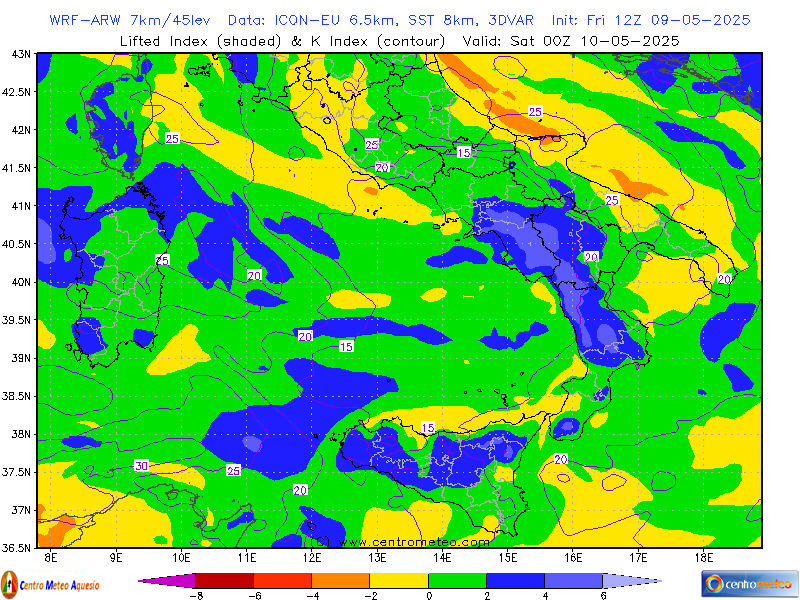
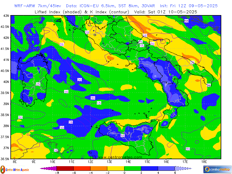
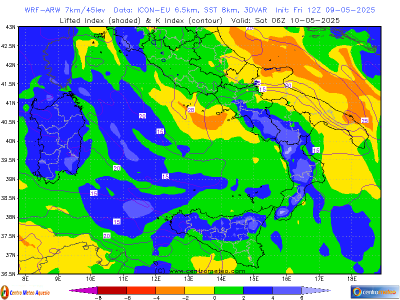
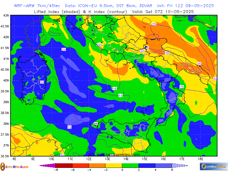
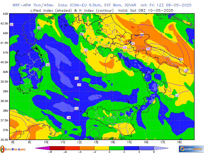
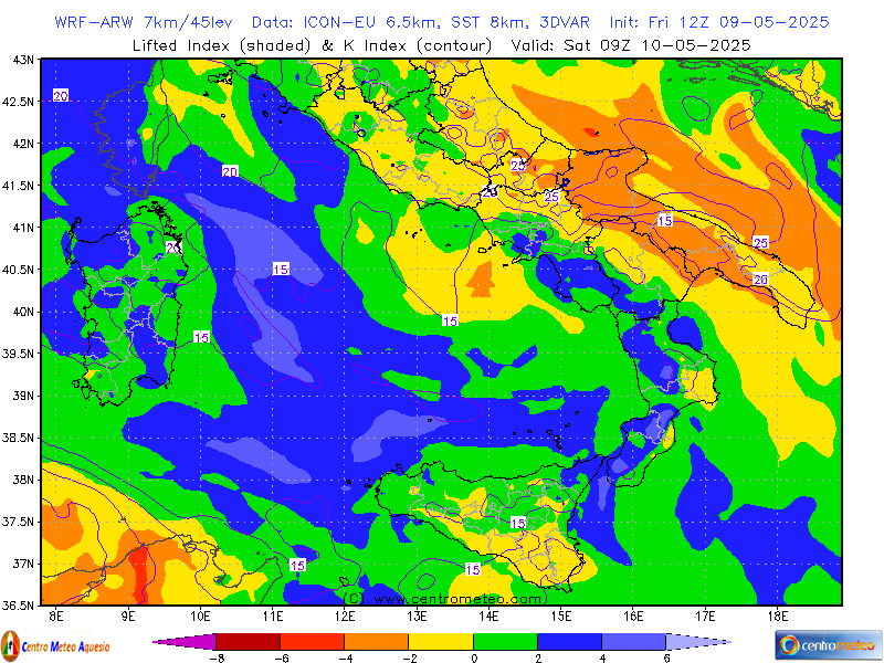
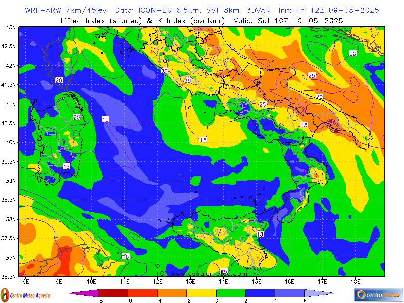
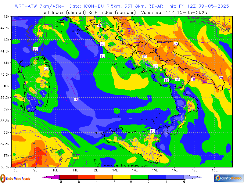
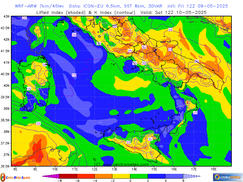
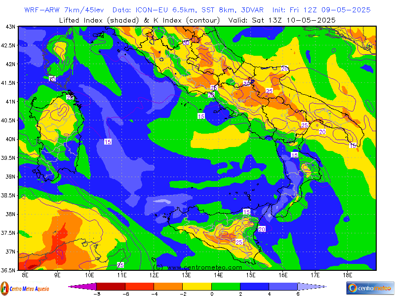
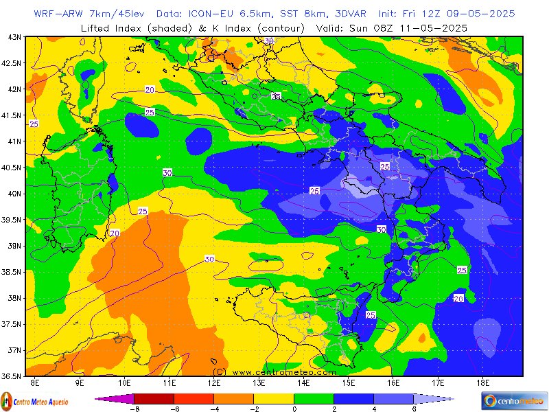
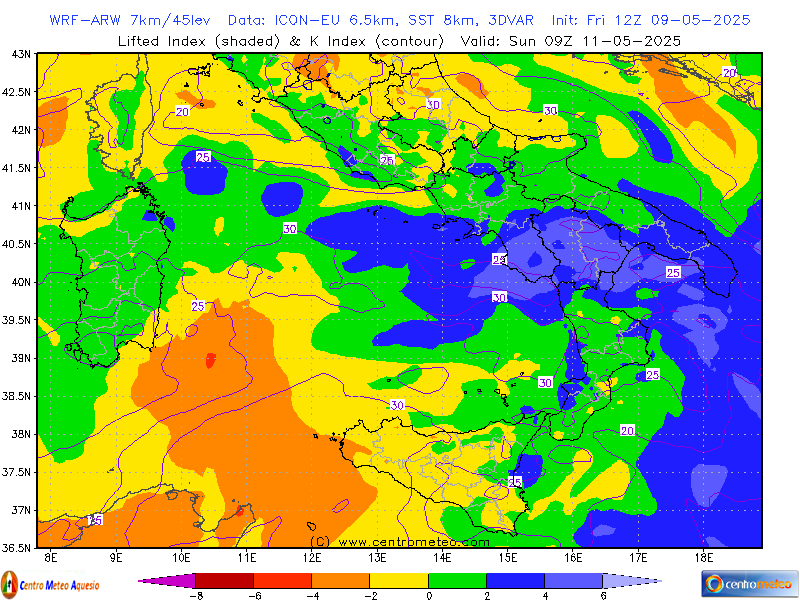
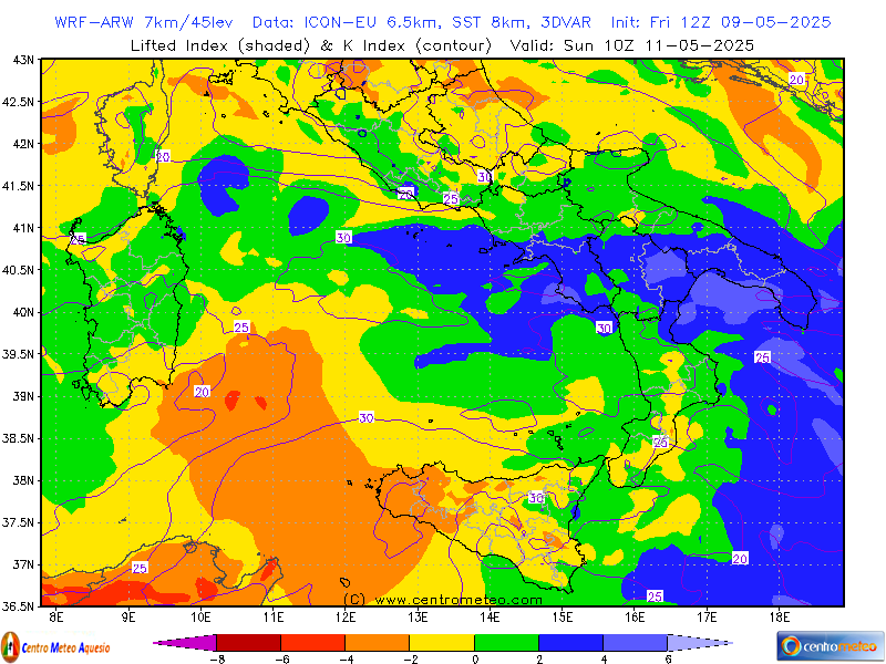
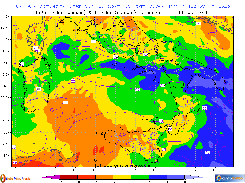
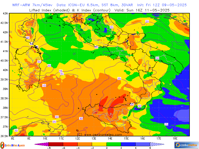
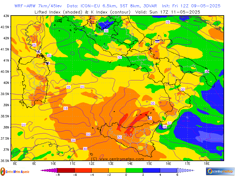
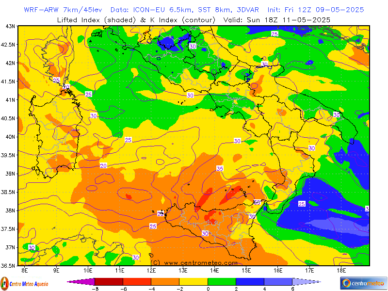
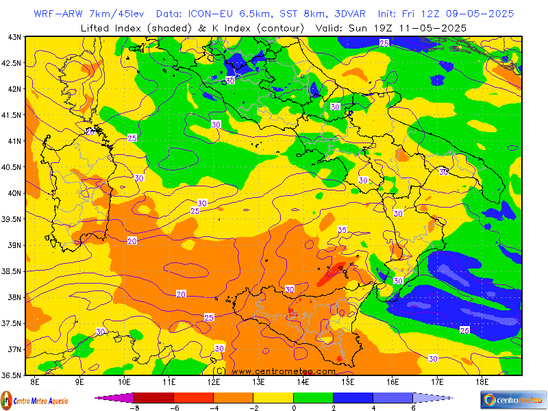
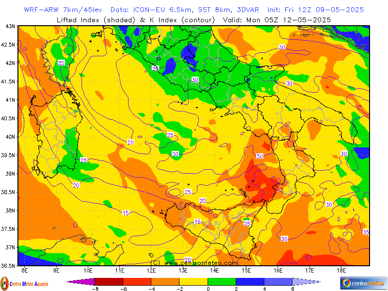
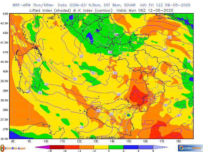
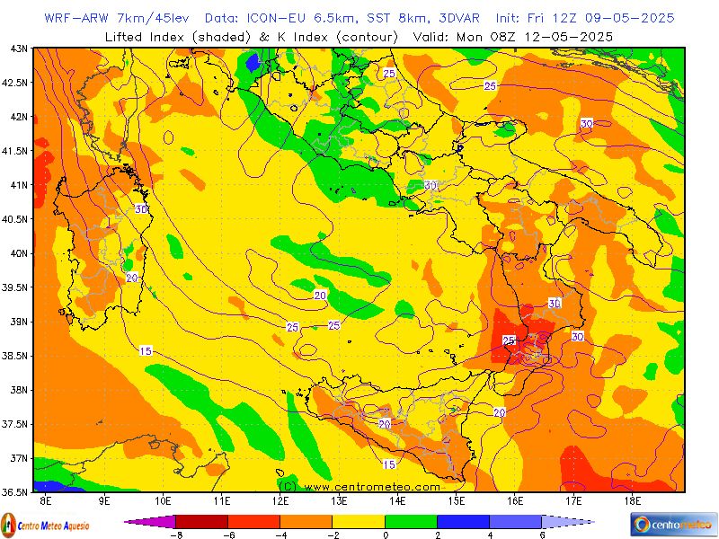
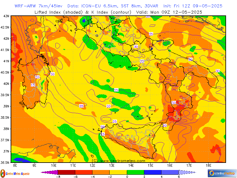
- Lifted Index, K Index
- MTS, Hail Index
----------
ITALIA WRF-ARW - Base dati: ICON
- MSLP, Cloud Cover, 3h Rain
- MSLP, Cloud Cover, 6h Rain
- MSLP, Cloud Cover, 12h Rain
- MSLP, Cloud Cover, 24h Rain
- 0°C Level, 3h Snow
- 0°C Level, 6h Snow
- 0°C Level, 12h Snow
- 0°C Level, 24h Snow
- Precipitation Type, 850hPa Temp
- Clouds Type, Adiabatic LCL
- 500hPa, MSLP, Temp
- 500hPa, Vort, Thick
- 850hPa Temp, Wind
- 850hPa, RH
- 850hPa 24h Diff Temperature
- 850hPa 48h Diff Temperature
- 925hPa Temp & 1000hPa RH
- 700hPa, RH, Wind
- 10m Wind
- 10m Wind Gust & Convergence
- 2m RH, 10m Wind
- 2m Temperature
- 2m 24h Diff Temperature
- 2m Dew Point, Fog Index
- Thom Discomfort Index
- Cape, CIN
- Total Totals, Sweat Index
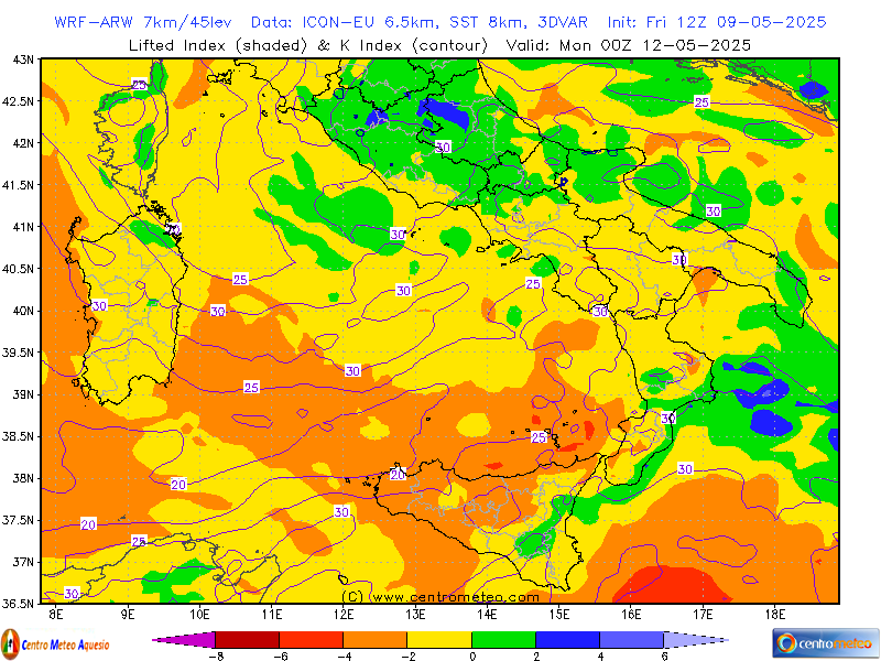
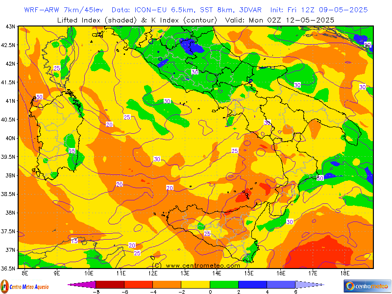
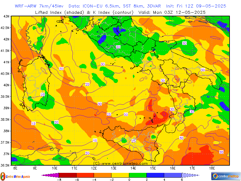
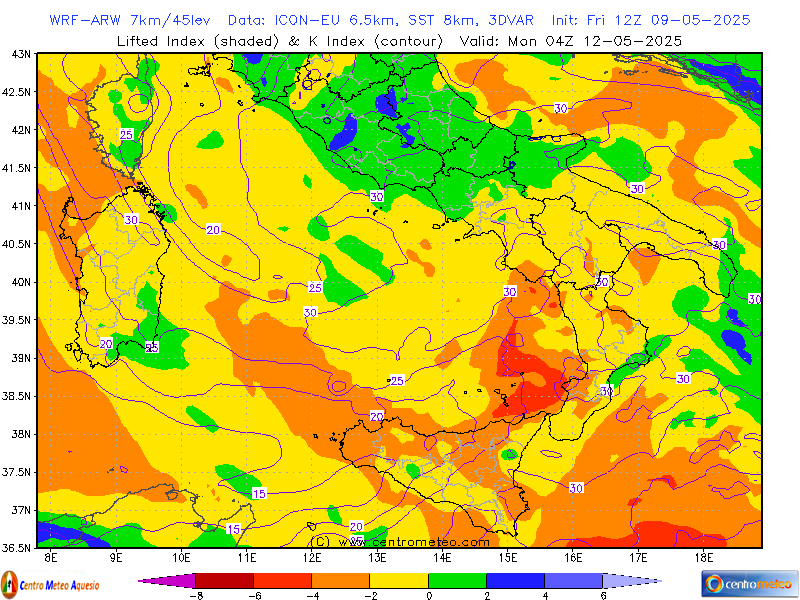
- Lifted Index, K Index
- Theta-E (850hPa)
- Delta Theta-E
- MTS, Hail Index
Centro-Nord
- MSLP, Cloud Cover, 3h Rain
- MSLP, Cloud Cover, 6h Rain
- MSLP, Cloud Cover, 12h Rain
- MSLP, Cloud Cover, 24h Rain
- 0°C Level, 3h Snow
- 0°C Level, 6h Snow
- 0°C Level, 12h Snow
- 0°C Level, 24h Snow
- 500hPa, MSLP, Temp
- 850hPa Temp, Wind
- 850hPa, RH
- 850hPa 24h Diff Temperature
- 925hPa Temp & 1000hPa RH
- 700hPa, RH, Wind
- 10m Wind
- 10m Wind Gust & Convergence
- 2m RH, 10m Wind
- 2m Temperature
- 2m Dew Point, Fog Index
- 2m 24h Diff Temperature
- Cape, CIN
- Total Totals, Sweat Index
- Lifted Index, K Index
- MTS, Hail Index
Centro-Sud
- MSLP, Cloud Cover, 3h Rain
- MSLP, Cloud Cover, 6h Rain
- MSLP, Cloud Cover, 12h Rain
- MSLP, Cloud Cover, 24h Rain
- 0°C Level, 3h Snow
- 0°C Level, 6h Snow
- 0°C Level, 12h Snow
- 0°C Level, 24h Snow
- 500hPa, MSLP, Temp
- 850hPa Temp, Wind
- 850hPa, RH
- 850hPa 24h Diff Temperature
- 925hPa Temp & 1000hPa RH
- 700hPa, RH, Wind
- 10m Wind
- 10m Wind Gust & Convergence
- 2m RH, 10m Wind
- 2m Temperature
- 2m 24h Diff Temperature
- 2m Dew Point, Fog Index
- Cape, CIN
- Total Totals, Sweat Index
- Lifted Index, K Index
- MTS, Hail Index
----------
ITALIA WRF-ARW - Base dati: GFS
- MSLP, Cloud Cover, 3h Rain
- MSLP, Cloud Cover, 6h Rain
- MSLP, Cloud Cover, 12h Rain
- MSLP, Cloud Cover, 24h Rain
- 0°C Level, 3h Snow
- 0°C Level, 6h Snow
- 0°C Level, 12h Snow
- 0°C Level, 24h Snow
- Precipitation Type, 850hPa Temp
- Clouds Type, Adiabatic LCL
- 500hPa, MSLP, Temp
- 500hPa, Vort, Thick
- 850hPa Temp, Wind
- 850hPa, RH
- 850hPa 24h Diff Temperature
- 850hPa 48h Diff Temperature
- 925hPa Temp & 1000hPa RH
- 700hPa, RH, Wind
- 10m Wind
- 10m Wind Gust & Convergence
- 2m RH, 10m Wind
- 2m Temperature
- 2m 24h Diff Temperature
- 2m Dew Point, Fog Index
- Thom Discomfort Index
- Cape, CIN
- Total Totals, Sweat Index
- Lifted Index, K Index
- Theta-E (850hPa)
- Delta Theta-E
- MTS, Hail Index
Centro-Nord
- MSLP, Cloud Cover, 3h Rain
- MSLP, Cloud Cover, 6h Rain
- MSLP, Cloud Cover, 12h Rain
- MSLP, Cloud Cover, 24h Rain
- 0°C Level, 3h Snow
- 0°C Level, 6h Snow
- 0°C Level, 12h Snow
- 0°C Level, 24h Snow
- 500hPa, MSLP, Temp
- 850hPa Temp, Wind
- 850hPa, RH
- 850hPa 24h Diff Temperature
- 925hPa Temp & 1000hPa RH
- 700hPa, RH, Wind
- 10m Wind
- 10m Wind Gust & Convergence
- 2m RH, 10m Wind
- 2m Temperature
- 2m Dew Point, Fog Index
- 2m 24h Diff Temperature
- Cape, CIN
- Total Totals, Sweat Index
- Lifted Index, K Index
- MTS, Hail Index
Centro-Sud
- MSLP, Cloud Cover, 3h Rain
- MSLP, Cloud Cover, 6h Rain
- MSLP, Cloud Cover, 12h Rain
- MSLP, Cloud Cover, 24h Rain
- 0°C Level, 3h Snow
- 0°C Level, 6h Snow
- 0°C Level, 12h Snow
- 0°C Level, 24h Snow
- 500hPa, MSLP, Temp
- 850hPa Temp, Wind
- 850hPa, RH
- 850hPa 24h Diff Temperature
- 925hPa Temp & 1000hPa RH
- 700hPa, RH, Wind
- 10m Wind
- 10m Wind Gust & Convergence
- 2m RH, 10m Wind
- 2m Temperature
- 2m 24h Diff Temperature
- 2m Dew Point, Fog Index
- Cape, CIN
- Total Totals, Sweat Index
- Lifted Index, K Index
- MTS, Hail Index
----------
ITALIA WRF-NMM (exp) - Base dati: GFS
- MSLP, Cloud Cover, 3h Rain
- MSLP, Cloud Cover, 6h Rain
- MSLP, Cloud Cover, 12h Rain
- MSLP, Cloud Cover, 24h Rain
- 0°C Level, 3h Snow
- 0°C Level, 6h Snow
- 0°C Level, 12h Snow
- 0°C Level, 24h Snow
- Precipitation Type, 850hPa Temp
- Clouds Type, Adiabatic LCL
- 500hPa, MSLP, Temp
- 500hPa, Vort, Thick
- 850hPa Temp, Wind
- 850hPa, RH
- 850hPa 24h Diff Temperature
- 850hPa 48h Diff Temperature
- 925hPa Temp & 1000hPa RH
- 700hPa, RH, Wind
- 10m Wind
- 10m Wind Gust & Convergence
- 2m RH, 10m Wind
- 2m Temperature
- 2m 24h Diff Temperature
- 2m Dew Point, Fog Index
- Thom Discomfort Index
- Cape, CIN
- Total Totals, Sweat Index
- Lifted Index, K Index
- Theta-E (850hPa)
- Delta Theta-E
- MTS, Hail Index
ITALIA WRF-ARW (exp) - Base dati: GFS
- MSLP, Cloud Cover, 3h Rain
- MSLP, Cloud Cover, 6h Rain
- MSLP, Cloud Cover, 12h Rain
- MSLP, Cloud Cover, 24h Rain
- 0°C Level, 3h Snow
- 0°C Level, 6h Snow
- 0°C Level, 12h Snow
- 0°C Level, 24h Snow
- Precipitation Type, 850hPa Temp
- Clouds Type, Adiabatic LCL
- 500hPa, MSLP, Temp
- 500hPa, Vort, Thick
- 850hPa Temp, Wind
- 850hPa, RH
- 850hPa 24h Diff Temperature
- 850hPa 48h Diff Temperature
- 925hPa Temp & 1000hPa RH
- 700hPa, RH, Wind
- 10m Wind
- 10m Wind Gust & Convergence
- 2m RH, 10m Wind
- 2m Temperature
- 2m 24h Diff Temperature
- 2m Dew Point, Fog Index
- Thom Discomfort Index
- Cape, CIN
- Total Totals, Sweat Index
- Lifted Index, K Index
- Theta-E (850hPa)
- Delta Theta-E
- MTS, Hail Index
----------
ITALIA WRF-ARW (Lamma) - base dati: ECM
----------
ITALIA WRF-NMM (1 corsa precedente)
- MSLP, Cloud Cover, 3h Rain
- MSLP, Cloud Cover, 6h Rain
- MSLP, Cloud Cover, 12h Rain
- MSLP, Cloud Cover, 24h Rain
- 0°C Level, 3h Snow
- 0°C Level, 6h Snow
- 0°C Level, 12h Snow
- 0°C Level, 24h Snow
- Precipitation Type, 850hPa Temp
- Clouds Type, Adiabatic LCL
- 850hPa Temp, Wind
- 10m Wind
- 2m RH, 10m Wind
- 2m Temperature
- 2m 24h Diff Temperature
- 2m Dew Point, Fog Index
- Cape, CIN
- MTS, Hail Index
ITALIA WRF-NMM (2 corse precedenti)
- MSLP, Cloud Cover, 3h Rain
- MSLP, Cloud Cover, 6h Rain
- MSLP, Cloud Cover, 12h Rain
- MSLP, Cloud Cover, 24h Rain
- 0°C Level, 3h Snow
- 0°C Level, 6h Snow
- 0°C Level, 12h Snow
- 0°C Level, 24h Snow
- Precipitation Type, 850hPa Temp
- Clouds Type, Adiabatic LCL
- 850hPa Temp, Wind
- 10m Wind
- 2m RH, 10m Wind
- 2m Temperature
- 2m 24h Diff Temperature
- 2m Dew Point, Fog Index
- Cape, CIN
- MTS, Hail Index
----------
- Vai ai modelli Globali
Disclaimer
- Il materiale presente in questo sito è fornito così come è. In nessun caso centrometeo.com può ritenersi responsabile per qualsiasi danno anche solo ipoteticamente collegabile all'uso dello stesso. L'accesso alle tutte le informazioni è strettamente riservato ad uso personale, con il tassativo divieto di usi ed applicazioni professionali, operative, pubbliche o commerciali, senza autorizzazione esplicita da parte di centrometeo.com.